El Salvador weather by month
Check out El Salvador weather averages by month. Compare detailed monthly climate statistics including temperature, rainfall and sunshine figures.
| Jan | Feb | Mar | Apr | May | Jun | Jul | Aug | Sep | Oct | Nov | Dec | |
|---|---|---|---|---|---|---|---|---|---|---|---|---|
| Maximum daytime temperature °F |  86 86 |
88 |
90 |
90 |
86 |
 82 82 |
84 |
84 |
82 |
82 |
82 |
84 |
| Hours of sunshine (daily) | ||||||||||||
| Days with some rainfall |  4 4 |
4 |
4 |
 8 8 |
 19 19 |
 28 28 |
 27 27 |
28 |
29 |
 22 22 |
8 |
5 |


More about El Salvador


El Salvador by month
Jan Feb Mar Apr May Jun Jul Aug Sep Oct Nov Dec
Recommended for El Salvador


The climate guide for El Salvador (San Salvador) shows long term monthly weather averages processed from data supplied by CRU (University of East Anglia), the Met Office & the Netherlands Meteorological Institute. Find out more about our data sources.
El Salvador climate overview
El Salvador is the smallest country in Central America. Its mainly agricultural economy has been hard hit by years of civil war in the 1980's and 1990's, compounded by a devastating earthquake in 2001 and severe floods in 2005.
Mountains dominate the landscape with high ranges running along the border with Honduras and along the central spine of the country. Large and particularly well-defined volcanoes are found near the capital San Salvador, as well as at San Vicente and Santa Ana.
Volcanic soil throughout the uplands is black and fertile, allowing extensive coffee plantations to grow on higher slopes and sugarcane on the rolling foothills below. Little of the indigenous forest stills remains due to widespread deforestation.
The coastal plain along the Pacific coast is narrow in the north but becomes wide in the south, extending quite a distance inland. It is intensely cultivated throughout, sustaining mainly cotton fields.
El Salvador has a tropical climate with a 'winter' dry season. Due to its long Pacific coast, much of the country is also humid in the wet season making for particularly oppressive conditions in the coastal plains. Temperatures only fall a few degrees in the dry season so it can still be warm and humid.
Rainfall follows a distinct seasonal pattern with the cloudy and wet season lasting from April to November. The heaviest rains fall in October and over the highest peaks, usually in the form of heavy afternoon downpours with thunder and lightening. A much drier 'winter' season runs from December to March, which is also the sunniest time of the year.
El Salvador lies in a very active earthquake zone with hundreds of earthquakes recorded every year.
Top El Salvador destinations
Below are average maximum temperatures at popular countries, regions and places in El Salvador for next month - August. Select a destination to see the climate guide for all months of the year.

All El Salvador destinations
El Salvador weather averages
Temperature in El Salvador (°F)
| Jan | Feb | Mar | Apr | May | Jun | Jul | Aug | Sep | Oct | Nov | Dec | |
|---|---|---|---|---|---|---|---|---|---|---|---|---|
| Max temperature (daytime) | 86 |
88 |
90 |
90 |
86 |
82 |
84 |
84 |
82 |
82 |
82 |
84 |
| Min temperature (night-time) |  57 57 |
57 |
 59 59 |
63 |
63 |
63 |
63 |
63 |
63 |
63 |
59 |
57 |
| Heat & Humidity |  M M |
 H H |
H |
H |
H |
M |
H |
M |
M |
M |
M |
M |
Note: 0 = None, L = Low, M = Moderate, H = High, VH = Very high, E = Extreme
Sunshine & UV index in El Salvador
| Jan | Feb | Mar | Apr | May | Jun | Jul | Aug | Sep | Oct | Nov | Dec | |
|---|---|---|---|---|---|---|---|---|---|---|---|---|
| Daily hours of sunshine | ||||||||||||
| Daily hours of daylight |  11 11 |
 12 12 |
12 |
12 |
 13 13 |
13 |
13 |
13 |
12 |
12 |
11 |
11 |
| UV Index (Maximum) |  10 10 |
 11 11 |
11 |
11 |
11 |
11 |
11 |
11 |
11 |
 11 11 |
10 |
9 |
Rainfall in El Salvador
| Jan | Feb | Mar | Apr | May | Jun | Jul | Aug | Sep | Oct | Nov | Dec | |
|---|---|---|---|---|---|---|---|---|---|---|---|---|
| Number of days with some rain | 4 |
4 |
4 |
8 |
19 |
28 |
27 |
28 |
29 |
22 |
8 |
5 |
| Average monthly rainfall (inches) |  0.2 0.2 |
0.2 |
0.8 |
 1.9 1.9 |
 6.3 6.3 |
 12.0 12.0 |
13.0 |
12.5 |
13.2 |
 8.2 8.2 |
 1.4 1.4 |
0.4 |
Tropical storm risk: El Salvador hurricane season
Compare El Salvador weather with the UK
The weather chart below compares the average monthly maximum daytime temperature for El Salvador (San Salvador) and the UK (London).
Maximum daytime temperature (°F)
Metric (°C) | Imperial (°F)
Be inspired
Get your weekly fix of holiday inspiration from some of the world's best travel writers plus save on your next trip with the latest exclusive offers
We promise not to share your details
Related posts


Popular travel offers


Explore holiday destinations
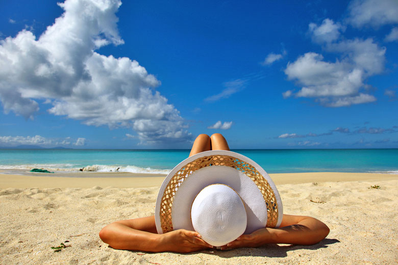
- Beach holidays
- City breaks
- Family holidays
- Half term holidays
- Spring holidays
- Summer holidays
- Autumn holidays
- Winter sun holidays
- Honeymoons
- Coolcations
- Compare places
- Ski resorts
Save with latest deals & discounts
- Holiday offers
- Top travel brands
- Airlines & flights
- Discount hotels
- TUI
- Jet2holidays
- Neilson
- Marella Cruises
- Holiday Extras
- Pierre & Vacances
- Caledonian Travel
- Club Med
Airport parking
- Manchester Airport
- Stansted Airport
- Bristol Airport
- Luton Airport
- Birmingham Airport
- Edinburgh Airport
- Gatwick Airport
- Glasgow Airport
- Newcastle Airport
Airport lounges
- Manchester Airport
- Birmingham Airport
- Bristol Airport
- Edinburgh Airport
- Glasgow Airport
- Heathrow Airport
- Newcastle Airport
- Stansted Airport
- Gatwick Airport