


- Explore cheap accommodation around the world
- Choose from over 36,000 properties across the globe
- Get instant confirmation & 24/7 customer service
Bangladesh weather by month
Check out Bangladesh weather averages by month. Compare detailed monthly climate statistics including temperature, rainfall and sunshine figures.
| Jan | Feb | Mar | Apr | May | Jun | Jul | Aug | Sep | Oct | Nov | Dec | |
|---|---|---|---|---|---|---|---|---|---|---|---|---|
| Maximum daytime temperature °C |  26 26 |
 29 29 |
 33 33 |
34 |
33 |
32 |
32 |
32 |
32 |
32 |
30 |
27 |
| Hours of sunshine (daily) | ||||||||||||
| Days with some rainfall |  1 1 |
1 |
3 |
 7 7 |
 11 11 |
 15 15 |
15 |
15 |
11 |
 6 6 |
1 |
0 |
More about Bangladesh
Bangladesh by month
Jan Feb Mar Apr May Jun Jul Aug Sep Oct Nov Dec
Recommended for Bangladesh
The climate guide for Bangladesh (Dhaka) shows long term monthly weather averages processed from data supplied by CRU (University of East Anglia), the Met Office & the Netherlands Meteorological Institute. Find out more about our data sources.
Top Bangladesh destinations
Below are average maximum temperatures at popular countries, regions and places in Bangladesh for next month - August. Select a destination to see the climate guide for all months of the year.
All Bangladesh destinations
Metric (°C / mm) | Imperial (°F / inches)
Bangladesh climate overview
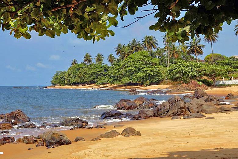
Bangladesh is largely surrounded by India, with a coastline onto the Bay of Bengal. This predominantly Muslim country was originally part of the Indian province of Bengal, gaining its independence from Britain in 1947, and from Pakistan in 1971. It is densely populated and frequently ravaged by natural disasters.
The vast majority of the country is a lowland delta where the mighty Ganges and Brahmaputra rivers empty into the Bay of Bengal. The landscape becomes very heavily intersected by minor rivers in the south, giving rise to extensive lush marshland such as in the Sundarbans National Park.
Further north, where the fertile land is not quite as sodden, bamboo, mangoes and palms grow. In the far north there are also extensive tea and jute plantations, particularly close to the hilly northern border with India, which is known for its scenic waterfalls.
In stark contrast to the rest of the country are the hills, ravines, and cliffs in the far southeast, known as the Chittagong Hill Tracts. A rolling landscape is clad in dense jungle with idyllic lakes, and is home to a few Buddhist tribal settlements.
Light rains sweep across the country from about mid-March to mid-May, during which time the temperature gets progressively hotter. Then from mid-May the Southwest Monsoon sets in and forces widespread rain and extensive cloud across all areas ensuring that temperatures do not rise any further from the highs in May, although they still remain hot with high humidity. The rain retreats by mid-October leaving a warm, sunny, and much drier winter.
The country is prone to cyclones from May to June and October to November, as well as flooding and occasional tornadoes.
Compare Bangladesh with the UK
Below the Bangladesh chart shows average maximum daytime temperature for Bangladesh (Dhaka) and the UK (London).
Maximum daytime temperature (°C)
Bangladesh (Dhaka)
UK (London)
Jan
Feb
Mar
Apr
May
Jun
Jul
Aug
Sep
Oct
Nov
Dec
Metric (°C / mm) | Imperial (°F / inches)
Compare more Bangladesh weather >>
Be inspired
Get your weekly fix of holiday inspiration from some of the world's best travel writers plus save on your next trip with the latest exclusive offers
We promise not to share your details
Related posts

Popular travel offers


Explore holidays in the sun for less
- Beach holidays
- Family holidays
- City breaks
- Summer holidays
- Winter sun holidays
- Holiday offers
- Top travel brands
- Airlines & flights
- Discount hotels
- Airport parking deals
- TUI
- Jet2holidays
- easyJet holidays
- Love Holidays
- January sales
Airport parking
- Manchester Airport
- Stansted Airport
- Bristol Airport
- Luton Airport
- Birmingham Airport
- Edinburgh Airport
- Gatwick Airport
- Glasgow Airport
- Newcastle Airport
Airport lounges
- Manchester Airport
- Birmingham Airport
- Bristol Airport
- Edinburgh Airport
- Glasgow Airport
- Heathrow Airport
- Newcastle Airport
- Stansted Airport
- Gatwick Airport